Software
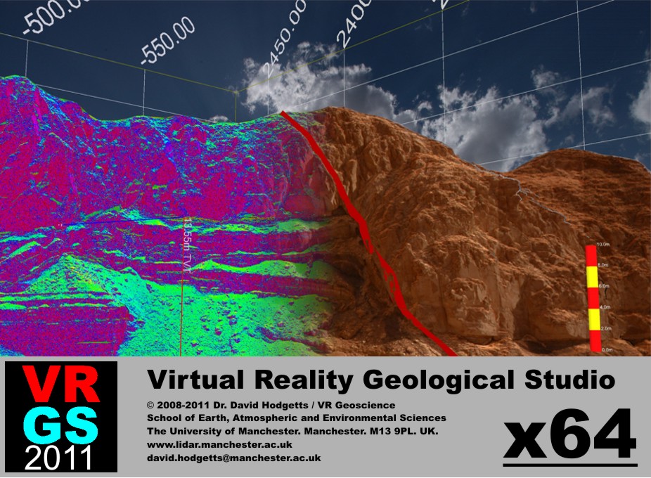
VRGS is a windows based application for the viewing, manipulation and interpretation of 3D geological data.
VRGS currenlty supports:
- Interpretation of surfaces and boundaries via polyline interpretation.
- Measurement and analysis of structural data from point cloud data.
- Integration of field observations.
- Structural Modelling.
- Structural Restoration.
- Field Data Acquisition.
- Attribute Analysis.
- Stereo Visualization.